Project Background
This HYMT-300 water detector case study France focuses on a practical field cooperation project with a local professional French geophysical survey and drilling contractor. The company specializes in rural water well construction and agricultural irrigation projects. Rural areas across France feature highly variable subsurface structures with interbedded soil and rock strata. Conventional experience-based drilling often results in dry wells, causing unnecessary waste of labor, construction time and drilling materials.
To enhance drilling accuracy and project profitability, the client sought a dependable pre-drilling groundwater survey tool. After evaluating a wide range of geophysical instruments on the market, the company selected the HYMT‑300 water finder for field water exploration and geological pre-drilling assessment.
Project Challenges
The field project presented three key challenges. Complex alternating geological layers made manual groundwater estimation inaccurate and risky for drilling operations. Decentralized rural job sites required compact, lightweight equipment for fast and flexible field deployment. In addition, the construction team required clear 2D and 3D subsurface imaging to identify precise aquifer distribution, water-bearing depth and ideal drilling coordinates.
Solution:HYMT-300 water detector case study France
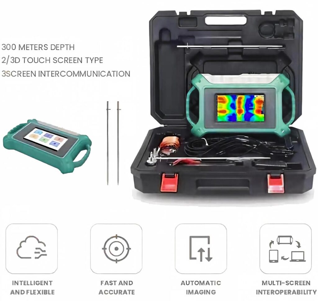
This water detector case study France demonstrates how the HYMT‑300 groundwater locating instrument utilizes advanced resistivity survey technology and multi-probe compatibility to deliver high-precision subsurface data collection. Equipped with an integrated intelligent touchscreen system, it generates real-time stratigraphic curves and colorful geological imaging, intuitively displaying subsurface variations and potential aquifer zones.
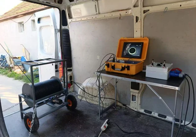
Compact, portable and user-friendly, the unit adapts perfectly to harsh outdoor field conditions. Prior to construction, the team performed multi-site scanning and comprehensive data analysis with the HYMT‑300. Accurate geological feedback helped the contractor confirm scientifically validated drilling points with high water-yield probability.
Field Test & Project Outcome
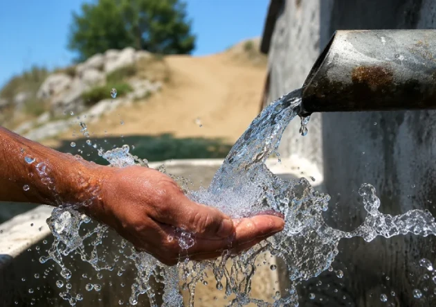
Guided by the device’s precise imaging and analytical data, the team conducted official drilling at the optimized location. The well successfully intercepted the targeted aquifer at the predicted depth, delivering consistent and sufficient water output. The stable water supply fully satisfied local residential daily water usage and agricultural irrigation demands.
This pre-drilling geophysical survey effectively eliminated blind drilling, reduced project failure rates, and cut overall construction costs and working cycles. The equipment’s reliable field performance, precise detection capability and intuitive imaging quality earned full recognition from the local French construction team.
Conclusion
Complex subsurface geology remains the primary cause of low well-drilling success rates in rural regions. Professional pre-drilling groundwater survey is critical for improving drilling efficiency and controlling project budgets. As a high-precision and portable geophysical solution, the HYMT‑300 provides trusted aquifer positioning services for rural drilling and geological exploration projects throughout France and Europe.
Explore reliable subsurface survey solutions with our premium underground water locating device for global well-drilling and geophysical projects.