
Products Description
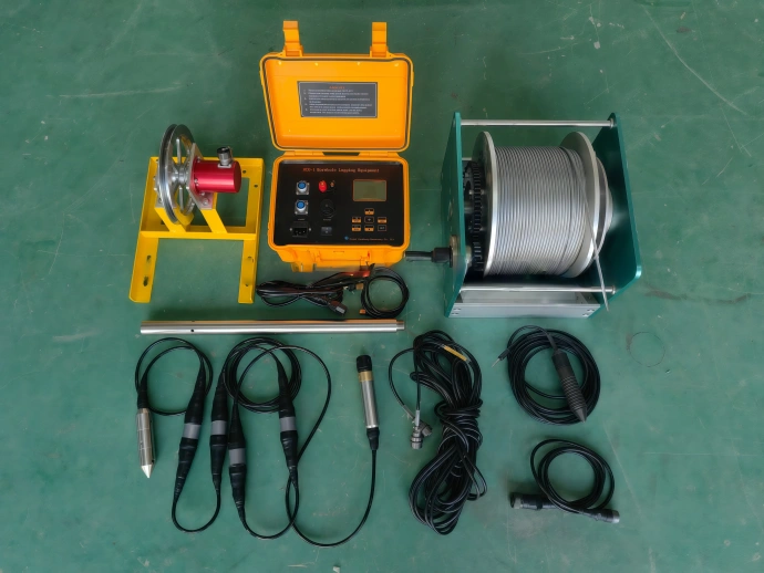
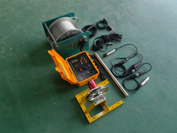
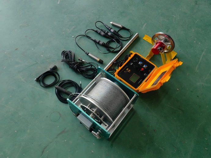
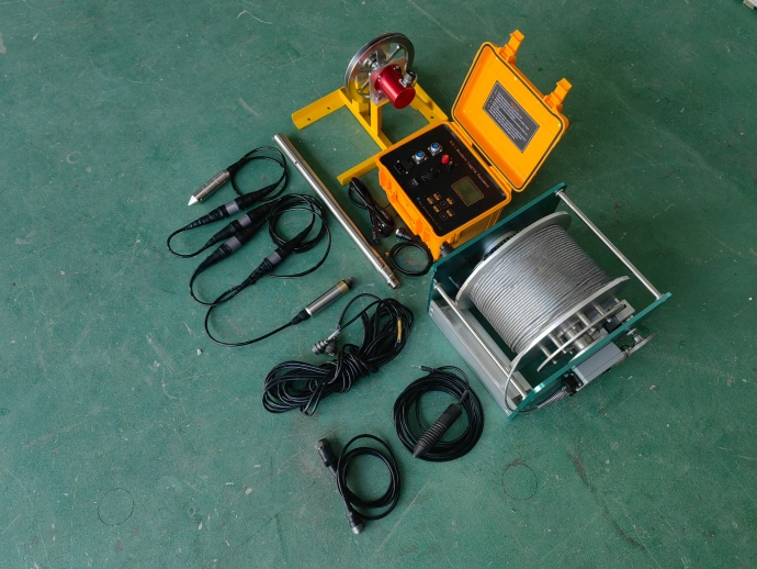
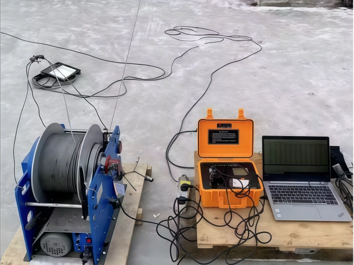
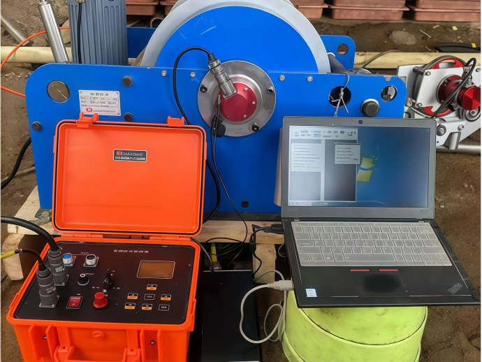
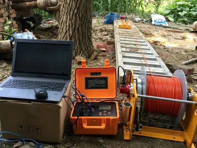
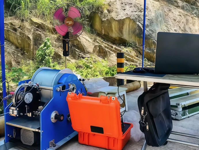
HYJ‑1 borehole logging instrument delivers high‑precision subsurface geological measurement for water‑well and geotechnical projects. Equipped with Kevlar reinforced cable and integrated electric winch system, the probe can be smoothly lowered into boreholes to enable standardized, time‑saving field data acquisition.
Light‑weight construction and simplified operation eliminate complicated on‑site setup and calibration, allowing field crews to acquire reliable geological data efficiently.
Featuring two independent voltage channels, HYJ‑1 captures two apparent resistivity curves simultaneously, which greatly improves working efficiency in field surveys. Custom‑optimized hardware ensures stable measurement output and excellent repeatability for every logging run.
Key Features
Supports real-time subsurface resistivity data acquisition and stable signal transmission, realizing instant monitoring of underground geological conditions.
Simultaneously collects gradient and potential resistivity curves in one operation, effectively shortening working cycles and improving overall detection efficiency.
Features rapid assembly and intuitive operating logic. It lowers technical thresholds for field construction and saves substantial on-site working time.
Delivers precise measuring data with excellent stability and repeatability, fully meeting professional geological exploration and engineering monitoring standards.
Matched with dedicated geological mapping software to generate clear, accurate and intuitive resistivity profile graphs for direct data analysis.
Application Scenarios & Target Users
The HDC-1 is widely applicable for professional geologists, hydrogeologists, environmental engineers and civil engineering researchers. It serves multiple high-precision geological measuring fields:
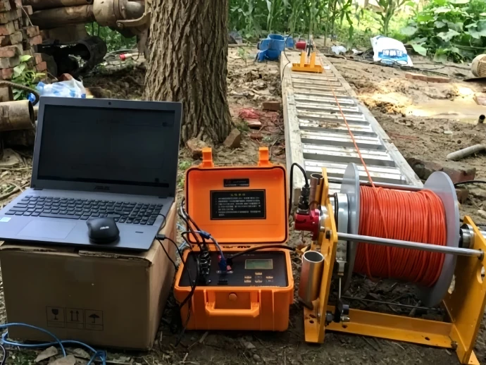
Groundwater Exploration & Water Resource Management
Quickly identifies underground aquifers, water-bearing structures and groundwater distribution for water well positioning and water resource evaluation.
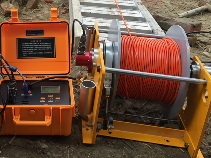
Mineral & Energy Geological Survey
Accurately captures subsurface structural changes and resistivity anomalies to support mineral and energy resource prospecting.
Engineering Geological Detection
Evaluates underground soil and rock layer properties, providing reliable geological basis for foundation design, construction planning and engineering risk assessment.
Environmental Monitoring & Pollution Assessment
Locates underground pollution zones, structural voids and geological variations for environmental protection and geological hazard investigation.
As a professional borehole resistivity logging device, the HDC-1 provides high-quality, stable deep-hole detection data, supporting accurate and scientific decision-making for geological exploration, resource development and engineering construction projects.
Who Needs HYJ‑1 Borehole Logging Equipment
Who Needs HYJ‑1 Borehole Logging Equipment
HYJ‑1 is suited for geologists, hydrogeologists, environmental engineers, and civil engineers who require precise resistivity measurements in boreholes. It is widely applied in:
• Groundwater exploration and water resource management – quickly identify water‑bearing layers.
• Mineral and energy resource surveys – efficiently detect subsurface structures and anomalies.
• Engineering geology and construction projects – evaluate soil and rock properties for foundation design.
• Environmental monitoring and contamination assessment – locate underground contamination or subsurface structural variations.
As reliable electric‑resistivity borehole logging equipment, the HYJ‑1 delivers high‑quality, consistent data from deep boreholes. It supports well‑informed decision‑making for geological exploration, resource management and civil‑engineering projects.
Technical Data
| No. | Item | Parameter |
| 1 | External Power Supply | AC 220V ± 20%, 50Hz, 20W |
| 2 | Working Condition | Temperature: -20 ºC ~ +40 ºC, humidity ≤ 90% |
| 3 | AB Power Supply | 6~60V, 0~200mA, AC square wave |
| 4 | Applicable Electrode System | A1.6M 0.4N |
| 5 | Apparent Resistivity Measurement Range | 1-2000Ωm |
| 6 | Apparent Resistivity Measurement Accuracy | 1% (scale) |
| 7 | Natural Potential Measurement Range | ±1200mv |
| 8 | Natural Potential Measurement Accuracy | 1% |
| 9 | Signal Output | USB interface |
| 10 | Depth Measurement | 0 ~ 9999.99 meters |
| 11 | Depth Measurement Accuracy | better than 0.1% |
| 12 | Speed Measurement Range | 0 ~ 9999 meters / hour |
| 13 | Speed Measurement Accuracy | better than 5% |
FAQ
This professional device measures the resistivity of underground rock, soil and fluid strata to analyze core geological properties such as formation porosity and groundwater distribution. It provides accurate data support for geological exploration, resource development and engineering construction decision-making.
It accurately identifies low-resistivity water-bearing strata and clearly maps underground aquifer distribution. It effectively guides water well drilling positioning and scientific management of groundwater resources.
Yes. The supporting cable length is fully customizable according to actual construction demands, adapting to detection depths ranging from tens of meters to 3000 meters, covering shallow, medium and ultra-deep borehole operation scenarios.
The main influencing factors include borehole fluid characteristics, unstable well wall conditions and irregular instrument calibration. Standardized operation and regular calibration can ensure long-term high-precision and stable measurement results.